| Bailuacraich—The Broch—Balnagown | Easy | 2:00 | 3.65 mi |
|---|
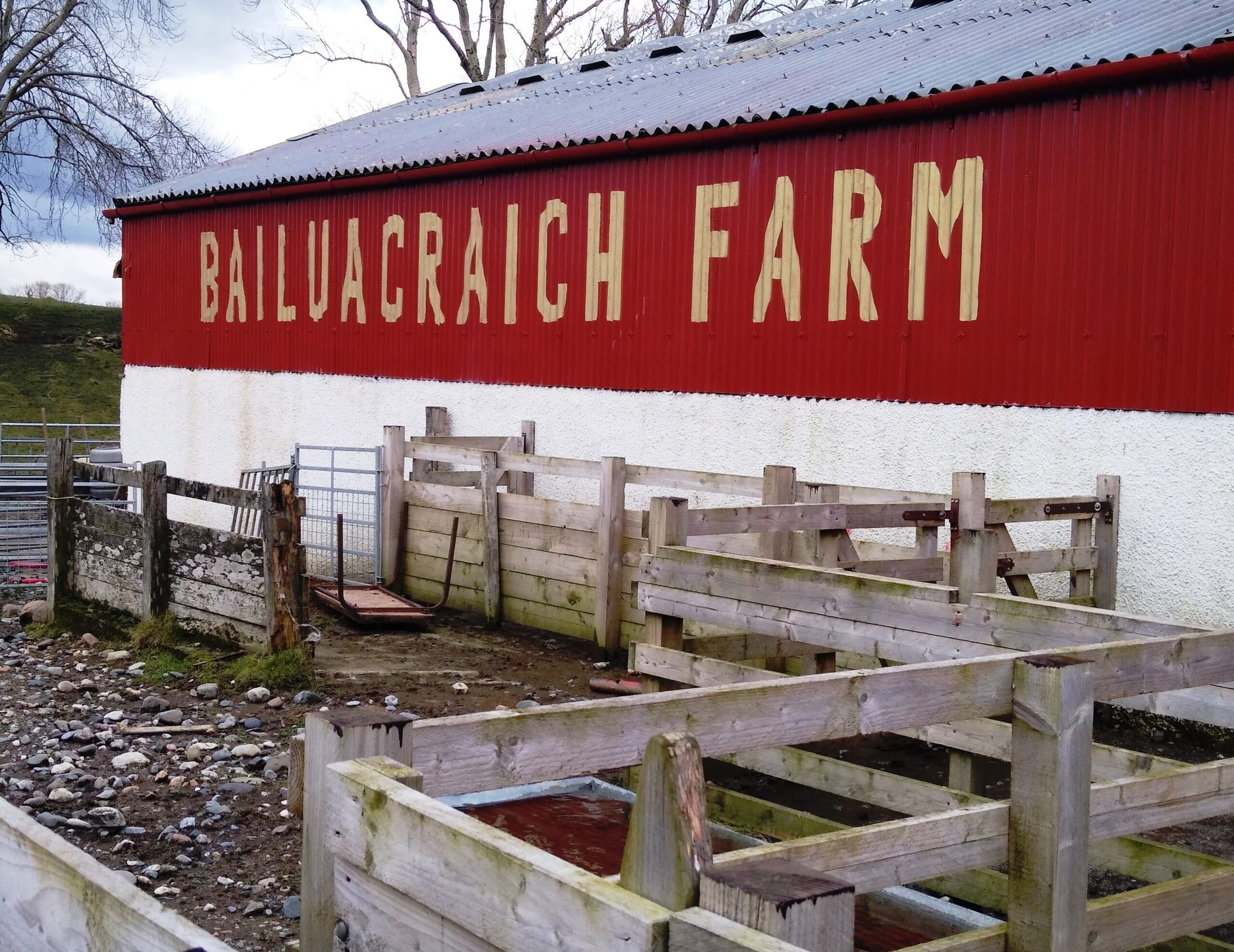
1. BAILUACRAICH FARM AND PORT MOLUAG
Walk, bike or drive to the Balure Road end signposted for Balure, approximately two miles from the North End ferry. An easy walk, impossible to get lost.
Once through the gate, the road leads down past Bailuacraich farm, with the Firth of Lorn ahead. After a single bungalow on the left, there is a turning for Port Moluag which is well worth a short detour as it is important and interesting.
The port is more an indent in the coastline than a serious place to land, but is significant as it is said to be where Moluag (later a saint) landed, from Ireland, in 562 CE as one of the proselytising workers of the early Christian church. He travelled with his twelve apostles and set up a monastic community known as a muinntireas. He set up similar centres at other places in Scotland and travelled a great deal; his name is known from Lewis to the Isle of Man. As Donald Black said: ‘Truly he was just as important as Columba in the early Celtic church but is not as well known. Of course not being of noble birth and not having a biographer as a relative was a distinct disadvantage.’ His ministry eventually spread throughout much of what is now Scotland and northern England, or so the story goes. Evidence for this period is sketchy.


This area was also the site of an ancient chapel, possibly the original place of worship and sanctuary established by Moluag before he selected Clachan. The freshwater spring, known as Tobar na Slàinte was also linked with him.
The remains of the Connel boatbuilding station are still visible on the raised beach. Again, I quote Donald Black: ‘On Lismore in the 19th century and into the early part of the 20th century, there lived and worked a family of traditional boatbuilders of the name “Connel”. They had obviously dropped the Mac, as did many other Highlanders. They were known locally as na Connallaich. The saw pit and workshop they used is well preserved, and can be seen to this day at Port Moluag on the eastern shore of the island.’ The remains of Connel’s Croft are in Balnagown and in the Heritage—Balnagown—Achnacroish walk. You can read the Connel family story on the Comann Eachdraidh website.
2. BALURE AND THE BROCH
The next gate is into Balure with the broch on the left. After another gate with an Appin and Lismore sign you eventually reach a left turning into a field. The broch is ahead and there is a barn on the right. Go through this gate and up to the broch.
Compared to some, but not others, this 2000-year-old broch is reasonably well preserved, with 15-feet-high walls and a visible internal passage—now barred to prevent sheep entering—lying between ten-foot-thick walls. Its position may seem to be defensive, with such great visibility (in good weather), but the walls would have been easily scaled and there are no lookout gaps. Some suggest it is simply a very showy farmhouse. Because it is delicate, it is most important that visitors treat it with care.
As part of the Lismore Landscape Project, Dr Ewan Campbell and colleagues from the Department of Archaeology, University of Glasgow, excavated areas of the interior and surrounds of Tirfuir Broch in 2004-5. You can read about this on the Comann Eachdraidh website and see what they unearthed. There is also lots of information about Scottish brochs on the Historic UK website.


From the Broch walk south, passing a signpost to Achnacroish Pier. Go through a gate over to your right, then straight ahead towards a wall in the distance. Over to your right are the ruins whose inhabitants, or at least most of them, are thought to have died tragically of typhus. Midway through this large flat field we saw a mink, but only because it moved briefly. Otherwise, it was a small patch of black earth. Mink have been a disaster on Lismore and everywhere in Argyll.
Appin had one of the largest farms in Scotland, and there were always escapees, but when it closed in the early 1990s, terns, gulls of all kinds, ducks and ground-nesting birds began to struggle and their numbers dwindled around Lismore’s shore. The morality of those who farmed them and those who dreamt of putting an expensive fur around a woman’s shoulders is, alas, questionable. When farming puts profit before everything it becomes a crime. Not seeing birdlife is one result, but they have never cleaned up the Appin site which is on the cycle path north where there are at least three sheds and endless cages, now just rusting heaps.
3. BALNAGOWN


The wall has a sturdy stile with an Explore Appin and Lismore badge, and once over you are in Balnagown. Go straight ahead to a very obvious rising tractor path at the end of the flat bit. Go straight ahead along the clifftop and you will come to a wall with a wooden stile at its end.
Cross the stile, and climb up an obvious path and down again until you are beside a wall/fence. The Mill dwellings are straight ahead. Follow the fence round past an opening, and begin to head north again with The Mill race on your left and a wall on your right. Go through the first gate you come to, keeping to the left near the wall, as this field is cultivated. Several pieces of Lismore’s outdoor agricultural museum were displayed (identification anyone?) courtesy of the last person who handled them.
After another gate, which was open—always leave them as you find them— you are near a line of ruined dwellings. Who lived here and why they abandoned these houses is unknown at the moment but we can assume that they moved away, or were forced away when the sheep came. Any information would be gratefully received.
Walk beside Loch Balnagown, towards a wooden gate, before which is another ruined house with a splendid fireplace, and a possible bible slot in the wall. Through the wooden gate, join a slowly rising tractor track beside some extraordinary trees, the loch on your left.
The track forks as you near the top of the rise. Take the right fork, continuing towards a large ruin with an ash tree collapsed on its roof.
This ruined house had been well built but, having been shattered by the tree, its corrugated iron roof is lying scattered, slowly disintegrating. A chain attached to a large stone may have been trying to keep the roof on.
4. BALURE AGAIN


Pass to the right of the ruin. and continue heading towards Balure House, the Broch and the barn on your right. A gate leads into the Balure road and you can follow this to where you started or cross the road towards a gate avoiding the Balure House private road on your left, where the late Dorothy and John Livingstone raised their two sons, Iain and Andrew; John—the farmer and much else—and Dorothy—many things including, for many years, the local taxi.
Once through the gate, cross the field diagonally, passing to the left of a clump of trees. After the next gate, head towards a wall veering slightly right until you see a small cute gate..
5. BAILUACRAICH FARM AGAIN
This gate has a wire across the top, so care is needed. Once through, continue until you see a house with a commanding view and the Balure road. Rejoin the road and pass in front of the house to reach the start.


From the main road you look across at Alasra peninsula and the Morvern hills.
Turn right if you need Point ferry; turn left for the church and the Heritage Centre.


