| The Bàrr Mòr | Moderate | 0:55 | 1.18 mi |
|---|
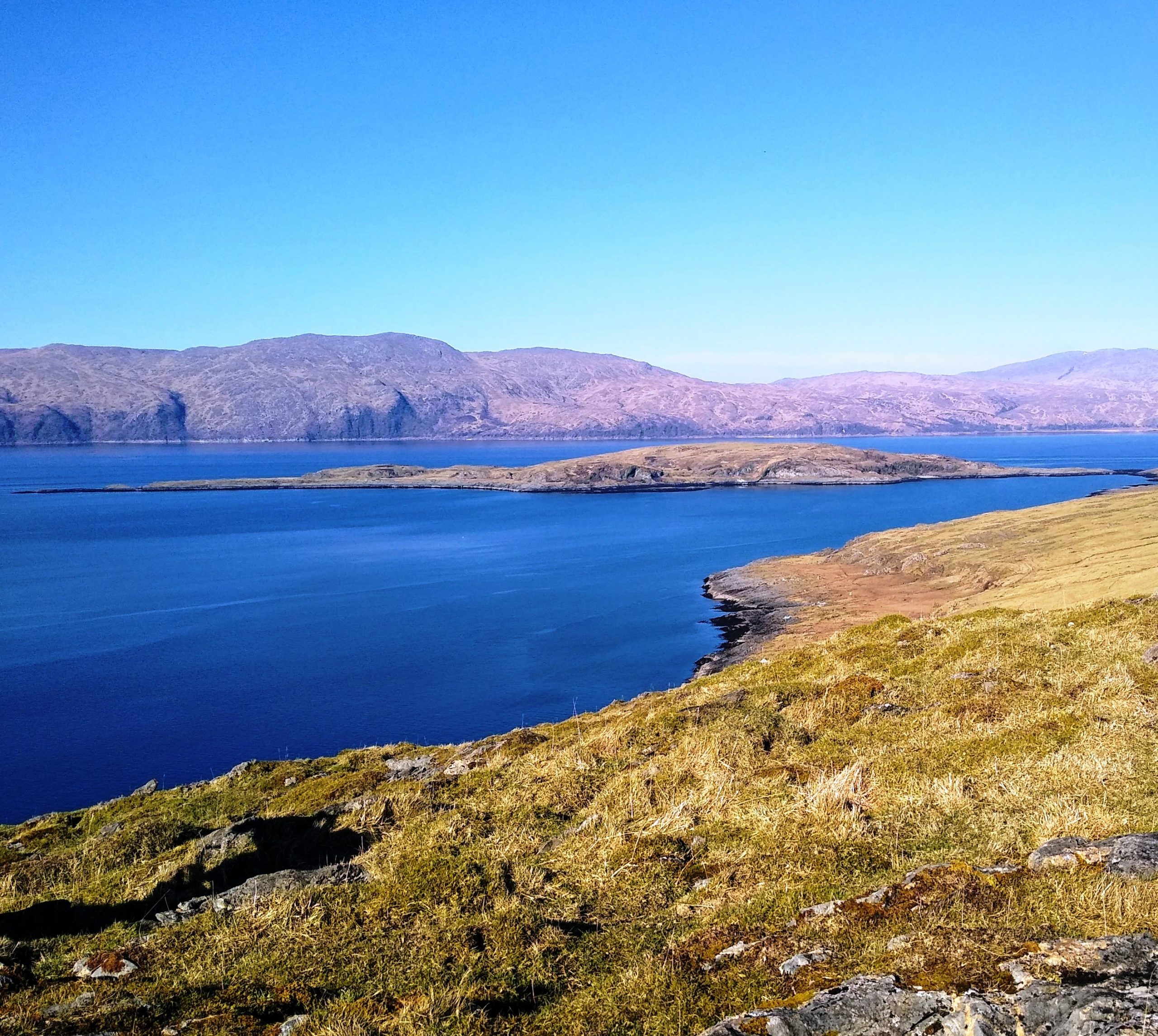
The Bàrr Mòr is the highest point on this low-lying island and is a very manageable 127 metres. It offers panoramic views of the island and its setting. On the summit is a cairn measuring 6.9 metres in diameter and 1.2 metres in height, and on which an OS triangulation pillar has been erected. Apparently this cairn was rebuilt in 1933.
To reach the start, make your way on the main road south to Kilcheran, through the gate after the houses and along the road until you reach a large shed. If driving, park beyond the shed in a convenient place, as the road is used by very large farm vehicles. The shed and the livestock you will meet belong to John Carmichael who farms Kilcheran, Fiart and Dalnarrow.
Take the first turning to the right after the shed onto a rough track/road which is known as the road to Achanard, an abandoned township described in another walk. Pass through a gate and walk beside Loch Fiart and, once through another gate (always leave them as you find them), the road curves round over a small stream, passes above a lochside fank and continues to wind as it climbs.
Not too far up you cross a burn and reach a fork. Take the left-hand track and continue to climb beside the burn. This is still the road to Achanard.
You soon pass the remains of two dwellings and, when you come to the shell of a shed, the road turns round left. For a longer walk you can add Achanard at this point on the way up or down, by continuing on this road until you see the remains of the lost township. The story of Achanard is told fully here
Otherwise, leave the road and continue ahead, climbing towards the higher ground on the left. This is not a path, so keep climbing until you see a gate in a wall in the distance.
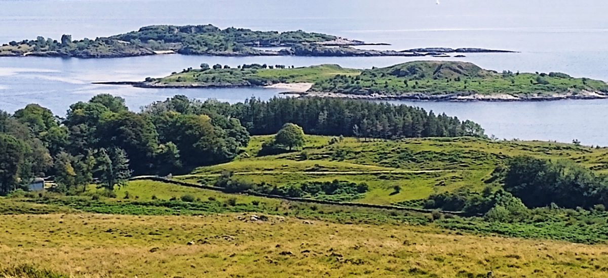
Once through this gate continue bearing slightly left to the higher ground. Looking down, the islands known as The Creags are visible in the Firth of Lorn and, when you see the wall into Achinduin on your left, the island of Bernera is visible.
Soon the triangulation pillar on the Bàrr Mòr can be seen in the distance and just before the pillar is a low broken-down wall.
From the pillar you look down on Loch Kilcheran, with Ben Nevis to the north, Mull with Duart Castle in the foreground is to the south, and in good weather, you can see down to Scarba and Jura. Morvern is to the west, separated from Lismore by Loch Linnhe, with Glensanda quarry further north(west) on mainland Kingairloch.


Return by the same route, or walk parallel to the Achinduin wall, now on your right as you head across country to Achanard.